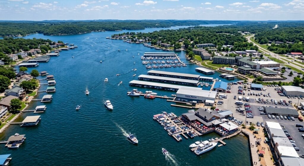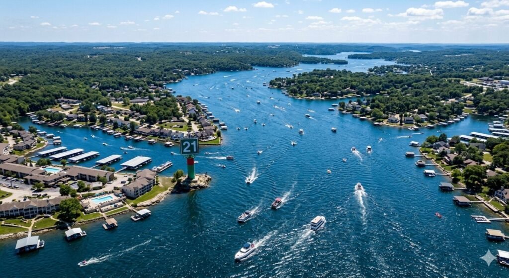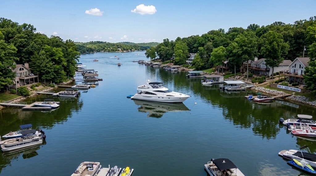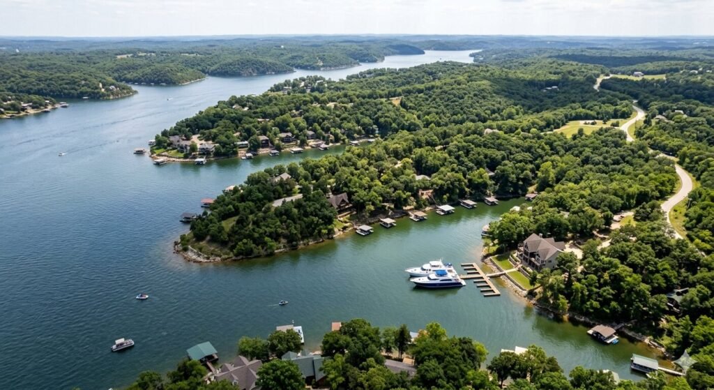

How to Spot Underwater Hazards in Quiet Arms at Lake of the Ozarks
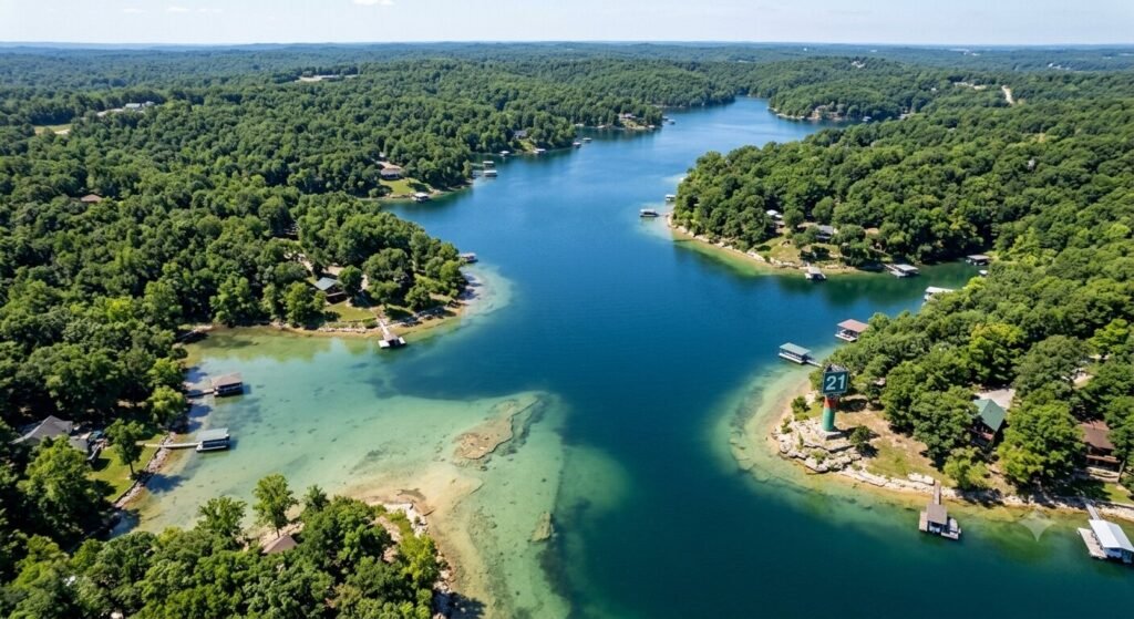
The quiet arms of Lake of the Ozarks are some of the most beautiful stretches of water in Missouri. They offer calm water, stunning scenery, and a peaceful escape from the busy main channel. But these same quiet areas carry some of the highest risks for underwater hazards. The water looks calm on the surface. What lies beneath is a different story entirely. Submerged stumps, rock ledges, sandbars, and shallow shelves hide in these arms. They have ended boating trips, damaged hulls, and bent propellers for decades. Knowing how to read the water and recognize warning signs before you reach a hazard is one of the most valuable skills any boater can develop on this lake. This guide gives you everything you need. It covers why quiet arms are more hazardous, how to read water visually, what tools help you navigate safely, and how experienced captains manage these challenges every single day. Why Quiet Arms Hide More Hazards Than Open Water It might seem counterintuitive. The busiest parts of the lake feel more dangerous. But the quiet arms of Lake of the Ozarks actually concentrate underwater hazards in ways the main channel does not. The lake was created by flooding. When Bagnell Dam was completed in 1931, the rising water covered an entire landscape. Forests, farmland, roads, and structures all went underwater. The main channel was dredged and maintained over time. The quiet arms were not. What was once dry land with trees, rock formations, and uneven terrain became the lake bottom. Much of that original terrain is still there. Stumps are everywhere in the arms. Trees were cut before the water rose, but root systems and low stumps remained. Over decades, some have deteriorated. Others remain solid just below the surface. In shallow arms, these stumps sit close enough to the surface to catch a propeller or crack a hull. They are invisible from the surface on a calm day. Only discoloration, turbulence, or experience reveals their location. Water levels change constantly. Lake of the Ozarks is a managed reservoir. The Army Corps of Engineers and Ameren Missouri control water levels throughout the year. Winter drawdowns lower the lake significantly. Spring refill raises it. Summer levels fluctuate with rainfall and management decisions. A rock shelf that sits safely below your hull at full pool can be a collision risk when the lake drops just two feet. Boaters who learned an arm at one water level can still find hazards when levels shift. Sedimentation builds shallow areas over time. Silt and organic material settle in the slower-moving water of quiet arms. This gradually builds up the bottom in certain areas. A spot that was five feet deep ten years ago may now be three feet deep. Charts and maps can become outdated. Local knowledge and real-time observation remain the most reliable tools available. Boat traffic does not clear the way for you. On the main channel, heavy traffic through consistent paths keeps common routes relatively predictable. In quiet arms, there is no such clearing effect. You may be the first boat through a particular section on any given day. There is no guarantee that the path ahead is clear. Reading the Water Surface | What to Look For Your eyes are your first and most powerful hazard detection tool. Learning to read the surface of the water accurately can prevent most hazard encounters in quiet arms. Water color tells you a great deal about depth. Deep, open water appears dark blue or dark green on a clear day. As depth decreases, the color shifts. Lighter green water typically indicates shallower depth. Yellow-green or brown-tinted water near a shoreline or cove entrance is a strong warning sign. The lighter the color, the shallower the water and the more cautious you should be. Flat spots in moving water signal something beneath the surface. When water flows over a submerged object, it creates a slight disturbance on the surface. You may see a small ripple, a swirl, or a flattened patch that does not match the surrounding water texture. These subtle signs are easy to miss at speed. Slowing down dramatically increases your ability to spot them before you reach them. Discoloration around stumps is often visible. A submerged stump creates a slightly darker circle or shadow on the lake bottom that you can sometimes see through the water. In clear, shallow water, this shadow appears as a brownish or dark spot below the surface. It may not look exactly like a stump. It looks like something is there. That is enough of a signal to steer around it. Debris on the surface indicates shallow or active bottom areas. Floating sticks, bark fragments, and vegetation near the surface often come from the bottom in shallower sections. When you see organic debris gathering on the surface in a particular area, it suggests that the bottom is not far below. Treat that area with caution until you have confirmed the depth. Bird behavior can indicate shallow water too. Herons, egrets, and other wading birds stand in shallow water. If you see birds standing in what appears to be open water, that area is extremely shallow. Steer well clear of any area where birds are standing on what looks like the lake surface. Using Depth Finders, Charts, and Navigation Tools Visual reading of the water is essential. But it works best when combined with the right tools. Experienced boaters and captains use several resources together to stay safe in quiet arms. A quality depth finder is one of the most important tools on any boat. Modern depth finders display real-time bottom readings as you move through the water. They show you the depth directly below your hull at any given moment. Some advanced units display a cone of depth readings around the vessel. A depth finder will not show you what is ahead of you, but it gives you continuous awareness of what is directly below. If the numbers are dropping fast, you slow down