Guides

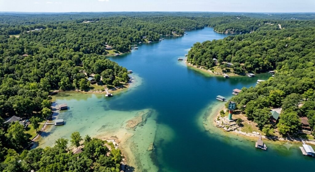
Aerial view of a quiet arm at Lake of the Ozarks showing shallow light water near shoreline and deeper water in center
Guides

How to Spot Underwater Hazards in Quiet Arms at Lake of the Ozarks

The quiet arms of Lake of the Ozarks are some of the most beautiful stretches of water in Missouri. They offer calm water, stunning scenery, and a peaceful escape from the busy main channel. But these same quiet areas carry some of the highest risks for underwater hazards. The water looks calm on the surface. What lies beneath is a different story entirely. Submerged stumps, rock ledges, sandbars, and shallow shelves hide in these arms. They have ended boating trips, damaged hulls, and bent propellers for decades. Knowing how to read the water and recognize warning signs before you reach a hazard is one of the most valuable skills any boater can develop on this lake. This guide gives you everything you need. It covers why quiet arms are more hazardous, how to read water visually, what tools help you navigate safely, and how experienced captains manage these challenges every single day. Why Quiet Arms Hide More Hazards Than Open Water It might seem counterintuitive. The busiest parts of the lake feel more dangerous. But the quiet arms of Lake of the Ozarks actually concentrate underwater hazards in ways the main channel does not. The lake was created by flooding. When Bagnell Dam was completed in 1931, the rising water covered an entire landscape. Forests, farmland, roads, and structures all went underwater. The main channel was dredged and maintained over time. The quiet arms were not. What was once dry land with trees, rock formations, and uneven terrain became the lake bottom. Much of that original terrain is still there. Stumps are everywhere in the arms. Trees were cut before the water rose, but root systems and low stumps remained. Over decades, some have deteriorated. Others remain solid just below the surface. In shallow arms, these stumps sit close enough to the surface to catch a propeller or crack a hull. They are invisible from the surface on a calm day. Only discoloration, turbulence, or experience reveals their location. Water levels change constantly. Lake of the Ozarks is a managed reservoir. The Army Corps of Engineers and Ameren Missouri control water levels throughout the year. Winter drawdowns lower the lake significantly. Spring refill raises it. Summer levels fluctuate with rainfall and management decisions. A rock shelf that sits safely below your hull at full pool can be a collision risk when the lake drops just two feet. Boaters who learned an arm at one water level can still find hazards when levels shift. Sedimentation builds shallow areas over time. Silt and organic material settle in the slower-moving water of quiet arms. This gradually builds up the bottom in certain areas. A spot that was five feet deep ten years ago may now be three feet deep. Charts and maps can become outdated. Local knowledge and real-time observation remain the most reliable tools available. Boat traffic does not clear the way for you. On the main channel, heavy traffic through consistent paths keeps common routes relatively predictable. In quiet arms, there is no such clearing effect. You may be the first boat through a particular section on any given day. There is no guarantee that the path ahead is clear. Reading the Water Surface | What to Look For Your eyes are your first and most powerful hazard detection tool. Learning to read the surface of the water accurately can prevent most hazard encounters in quiet arms. Water color tells you a great deal about depth. Deep, open water appears dark blue or dark green on a clear day. As depth decreases, the color shifts. Lighter green water typically indicates shallower depth. Yellow-green or brown-tinted water near a shoreline or cove entrance is a strong warning sign. The lighter the color, the shallower the water and the more cautious you should be. Flat spots in moving water signal something beneath the surface. When water flows over a submerged object, it creates a slight disturbance on the surface. You may see a small ripple, a swirl, or a flattened patch that does not match the surrounding water texture. These subtle signs are easy to miss at speed. Slowing down dramatically increases your ability to spot them before you reach them. Discoloration around stumps is often visible. A submerged stump creates a slightly darker circle or shadow on the lake bottom that you can sometimes see through the water. In clear, shallow water, this shadow appears as a brownish or dark spot below the surface. It may not look exactly like a stump. It looks like something is there. That is enough of a signal to steer around it. Debris on the surface indicates shallow or active bottom areas. Floating sticks, bark fragments, and vegetation near the surface often come from the bottom in shallower sections. When you see organic debris gathering on the surface in a particular area, it suggests that the bottom is not far below. Treat that area with caution until you have confirmed the depth. Bird behavior can indicate shallow water too. Herons, egrets, and other wading birds stand in shallow water. If you see birds standing in what appears to be open water, that area is extremely shallow. Steer well clear of any area where birds are standing on what looks like the lake surface. Using Depth Finders, Charts, and Navigation Tools Visual reading of the water is essential. But it works best when combined with the right tools. Experienced boaters and captains use several resources together to stay safe in quiet arms. A quality depth finder is one of the most important tools on any boat. Modern depth finders display real-time bottom readings as you move through the water. They show you the depth directly below your hull at any given moment. Some advanced units display a cone of depth readings around the vessel. A depth finder will not show you what is ahead of you, but it gives you continuous awareness of what is directly below. If the numbers are dropping fast, you slow down
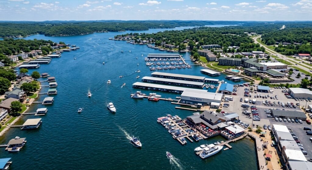
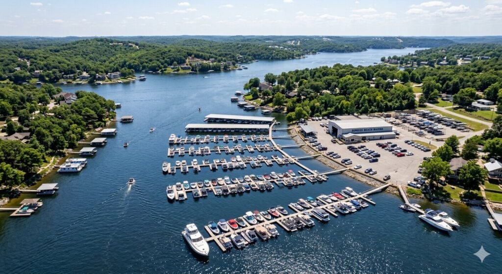
Aerial view of Osage Beach commercial docks and marina facilities along Lake of the Ozarks shoreline
Guides

Guide to Boating Safety Around Commercial Docks at Lake of the Ozarks

Lake of the Ozarks is one of the most popular boating destinations in the Midwest. It draws millions of visitors every summer. With all that activity comes a lot of boat traffic near commercial docks, marinas, and waterfront businesses. Knowing how to navigate these areas safely is essential. It protects you, your passengers, dock workers, and other boaters. This guide covers everything you need to know about boating safely around commercial docks at Lake of the Ozarks. Whether you are on a private yacht charter or piloting your own vessel, these rules and tips apply directly to you. Why Commercial Dock Areas Demand Extra Attention Commercial docks are busy places. They handle fuel stops, boat rentals, restaurant arrivals, and charter departures all at once. The activity level near these docks is significantly higher than in open water. Foot traffic near the water’s edge is constant. Dock workers move quickly between boats. Guests board and disembark. Children sometimes run on docks. All of this happens close to moving water. A wake from a passing boat can throw someone off balance in seconds. Boat congestion is another major factor. Multiple vessels enter and exit dock areas at the same time. Some boats are moving slowly. Others are repositioning. Captains are watching multiple things at once. In this environment, predictable, slow, and deliberate movement is the only safe approach. The commercial dock areas around Osage Beach, the Gravois Arm, and the Niangua Arm see some of the heaviest traffic on the lake. Understanding the dynamics of these specific zones will make you a safer and more confident boater in all of them. No-Wake Zones Near Commercial Docks | What You Need to Know No-wake zones are the single most important rule to understand near commercial docks. These zones exist specifically to protect people and property in high-activity areas. A no-wake zone means your vessel must travel at the slowest possible speed that still allows steerage. It does not mean slow. It means minimal. Your boat should produce little to no visible wake at this speed. Most experienced boaters travel between 5 and 7 miles per hour in these zones. Signs and buoys mark no-wake zones throughout the lake. Orange and white buoys are the most common indicators. Pay attention to their placement. The boundary of a no-wake zone is where the buoys begin, not where the dock structure starts. Many boaters make the mistake of slowing down too late. Violating a no-wake zone near a commercial dock carries real consequences. Missouri State Highway Patrol Water Division actively enforces these rules on Lake of the Ozarks. Fines are issued regularly. More importantly, a wake in a restricted area can damage docked boats, injure dock workers, and create dangerous conditions for swimmers near shore. Camden County and surrounding jurisdictions take dock safety seriously. If you are unsure whether a zone is restricted, slow down before you reach it. Caution costs nothing. A fine or an accident costs a great deal more. Approaching and Departing Commercial Docks Safely How you approach and leave a commercial dock matters just as much as how fast you travel. Poor technique causes most dock-related incidents on the lake. Slow down well before you reach the dock. Do not wait until you are close to reduce speed. Begin your approach from a distance. Give yourself room to adjust. The more time you have, the more control you maintain. Communicate your intentions. If your vessel has a horn, use it when appropriate. Make eye contact with dock workers when possible. A simple hand signal indicating where you intend to tie up prevents confusion. Dock workers appreciate when captains are clear and deliberate. Approach at an angle, not head-on. A slight angle allows you to pivot the stern toward the dock as you slow. This gives you more control during the final approach. Coming in straight at speed leaves you little room to correct if something changes. Account for wind and current. Wind at Lake of the Ozarks can shift quickly. Current near dock areas varies depending on water levels and nearby boat traffic. Always factor these in before committing to your final approach angle. Experienced captains assess wind direction the moment they begin their approach. When departing, check your surroundings before engaging the throttle. Look for swimmers, kayakers, paddleboarders, and other vessels. Announce your departure to dock staff when possible. Back out slowly before turning. Sudden forward movement from a dock can create dangerous wash in tight spaces. Right-of-Way Rules in Dock Areas and Marinas Understanding right-of-way is critical near commercial docks. Confusion about who has priority leads to close calls and collisions. Vessels leaving a dock have less priority than vessels already underway. If a boat is moving through a channel, a departing vessel should wait for a clear opportunity before pulling out. Do not assume the moving vessel will yield to you. Vessels entering a marina travel slower and have less maneuverability. Boats already inside a marina or dock area typically have the right of way over those entering. Give inbound vessels room to complete their approach before you begin yours. Powered vessels yield to human-powered craft in close quarters. Kayaks, canoes, and paddleboards are common near commercial docks, especially near restaurants and waterfront attractions. These craft are quiet and can appear quickly. Always scan for them before moving. USCG regulations apply on all navigable waters including Lake of the Ozarks. The Inland Navigation Rules govern right-of-way in all situations. When in doubt, yield. Being cautious does not slow you down meaningfully. It does prevent accidents. Your USCG-certified captain on a Yacht Rental Lake Ozark charter knows these rules completely. They apply them every time they enter or exit a dock area. Watching an experienced captain work a commercial dock is one of the best ways to understand how it should be done. Fuel Dock Safety | A Separate Set of Rules Fuel docks at Lake of the Ozarks require extra attention. They are active, congested, and carry specific

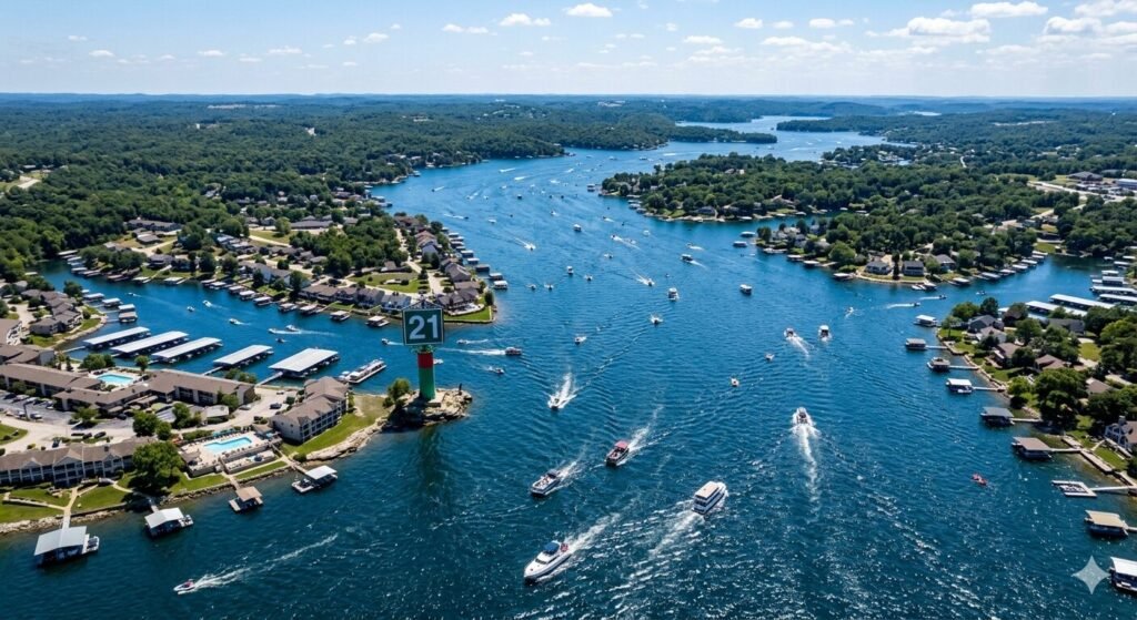
Aerial view of the 21 mile marker area at Lake of the Ozarks with boats navigating open water
Guides

Understanding the Wave Action at the 21 Mile Marker on Lake of the Ozarks

If you have spent any time boating on Lake of the Ozarks, you already know the water can change quickly. One stretch that gets a lot of attention from boaters is the area near the 21 mile marker. It is a spot where wave action can become intense, unpredictable, and even challenging for first-time visitors. Understanding what happens here can make your day on the water safer and more enjoyable. This guide breaks down everything you need to know about wave conditions at this location. Whether you are planning a private yacht charter, a family outing, or a weekend cruise, knowing the 21 mile marker will help you prepare better. What Makes the 21 Mile Marker So Unique The 21 mile marker sits in one of the busiest corridors of Lake of the Ozarks. This section of the lake is wide and open. It sees some of the heaviest boat traffic on the entire lake. That combination creates wave conditions that are different from most other areas. The lake here is a large reservoir shaped by the Bagnell Dam. The geography funnels wind and wake energy into certain zones. The 21 mile marker is one of those zones. Waves coming from multiple directions can collide at this point. That creates what boaters call confused seas. The water does not move in one consistent direction. It comes from multiple angles at once. This is not dangerous if you know what to expect. But it can surprise boaters who are not prepared. The key is understanding why the waves form and how to handle them confidently. Why Wave Action Builds Up in This Area Several factors work together to create strong wave action near the 21 mile marker. Each one plays a role. When they combine on a busy summer day, the water can get quite rough. Boat traffic is the first and most obvious factor. Lake of the Ozarks draws millions of visitors every year. The stretch near the 21 mile marker is a popular route. Pontoon boats, speedboats, and large charter vessels all pass through this corridor regularly. Every boat creates a wake. Those wakes spread outward and mix with wakes from other boats. The result is a constantly churning surface. Wind direction matters just as much. The lake runs in long, curved arms. Wind traveling along those arms has a long fetch. Fetch is the distance wind travels over open water before reaching a given point. A longer fetch means larger waves. When the wind blows from a direction that aligns with the main channel near the 21 mile marker, wave heights can increase noticeably even on what looks like a calm day. Cove and channel intersections also play a role. Several coves and smaller channels meet near this area. When wind-driven waves from one direction hit currents or waves from another, they amplify each other. This is what creates the choppy, confused conditions that boaters experience. Time of day matters too. Mornings on the lake are typically calmer. Wind speeds rise through the afternoon. By midday and into the late afternoon, conditions near the 21 mile marker are usually at their roughest. If you are looking for smoother water, an early morning charter is often the better choice. How Wave Conditions Affect Your Boating Experience Understanding wave action is not just about safety. It also affects comfort, fuel consumption, and how much fun you have on the water. On a private yacht charter, your USCG-certified captain is trained to read water conditions. They will adjust speed, change course, and find the smoothest path through rough sections. But even with an experienced captain, passengers should be prepared for movement. Holding your drink, staying seated during heavy chop, and being aware of your footing are all part of boating on an active lake. Smaller vessels feel waves differently than larger yachts or tritoons. A smaller boat will ride up and over individual waves. A larger, heavier vessel cuts through them with less motion. This is one reason many guests prefer a tritoon rental or yacht charter when they plan to spend time near busier stretches of the lake. The stability is noticeably better. Wave action also affects swimming and anchoring. If you plan to anchor and swim near the 21 mile marker, be aware that persistent wave action can make the swim ladder harder to use. Wakes from passing boats can arrive in quick succession. Always swim with a life jacket in open water situations, and make sure someone remains on board while others are in the water. Seasonal and Weekly Patterns to Know Before You Go Wave conditions at the 21 mile marker are not the same every day. They follow clear patterns based on the season, day of the week, and time of day. Summer weekends are the most intense. Holiday weekends around Memorial Day, Fourth of July, and Labor Day push boat traffic to its highest levels. These are the days when the 21 mile marker sees the most concentrated wake energy. Boaters who prefer calmer conditions often choose weekday departures during these holiday windows. Spring and fall bring different conditions. Fewer boats are on the water. However, wind speeds are often higher in spring. Fall days can bring gusty northwest winds that push waves up the main channel. The wave action during these seasons is driven more by weather than by boat traffic. Early morning hours, typically before 10 AM, offer the most manageable conditions on any given day. The wind has not built up yet and most boat traffic is still launching. If your charter departs early, your transit through busier corridors will be noticeably smoother. Afternoon thunderstorms are common in the Lake of the Ozarks region during summer. Storms build quickly and can change wave conditions from manageable to dangerous within minutes. Your captain will monitor weather closely. If conditions deteriorate, adjusting the route or finding sheltered water is always the right call. Navigating the 21 Mile Marker Safely Safe navigation near the

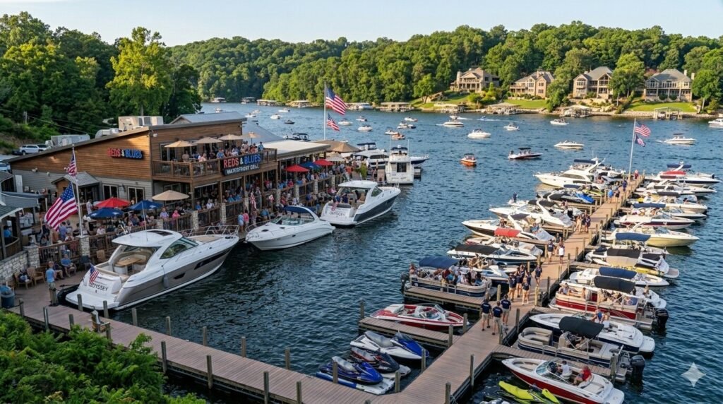
Yachts and boats docked at popular Lake of the Ozarks restaurant busy weekend afternoon
Guides

How to Dock a Twin Engine Yacht at a Lakefront Restaurant

Pulling up to a lakefront restaurant by boat is one of the best experiences Lake of the Ozarks has to offer. You cruise up to the dock, tie off, step ashore, and walk straight into lunch or dinner with a great view of the water behind you. It feels effortless when it is done right. But docking a twin engine yacht at a busy lakefront restaurant takes real skill. The docks are often crowded. Other boats are coming and going constantly. Wind and current can push your vessel off your intended line at any moment. One small mistake in a tight dock can mean a scrape, a collision, or an embarrassing moment in front of a full restaurant crowd. This guide covers everything you need to know about docking a twin engine yacht at a lakefront restaurant at Lake of the Ozarks. Whether you are new to twin engine handling or just want to sharpen your skills before a big lake trip, this is your complete practical guide. Understanding Your Twin Engine Advantage A twin engine yacht gives you a docking advantage that a single engine vessel simply does not have. Two engines mean two independent thrust points. You can push the bow left while the stern goes right. You can spin the boat almost in place. You can hold your position against wind or current without using the helm at all. This level of control is what makes twin engine yachts so well suited for tight dock situations. Lakefront restaurants at Lake of the Ozarks often have busy, compact docking areas. Boats are packed in closely on summer weekends. The ability to maneuver precisely in small spaces is not just a convenience. It is a genuine safety advantage. The key to using twin engines effectively is understanding how they interact. Running both engines forward moves the boat straight ahead. Running one forward and one in reverse spins the boat around its center point. This is called a pivot turn. It is the foundation of almost every tight docking maneuver a twin engine yacht will ever perform. Practicing this movement in open water before you approach a crowded dock is always the right preparation. Understanding your yacht’s prop walk is also important. Each propeller pulls the stern slightly to one side when in reverse. On a twin engine setup, these forces can work together or against each other depending on your engine inputs. Knowing how your specific vessel responds to reverse thrust from each engine separately gives you much better predictive control during the final moments of any dock approach. Reading the Dock Before You Approach Never rush a dock approach at a lakefront restaurant. Always take a full pass by the dock before you commit to docking. This is called a reconnaissance pass and experienced captains do it every single time. It gives you critical information that you cannot get from a distance. During your pass, look at the available space. Identify exactly where you plan to land. Note which direction the wind is blowing and how it will affect your vessel during the approach. Check for any obstacles like floating debris, shallow areas near the dock edge, or mooring lines from other boats that extend into your intended path. Look at how other boats are positioned and whether any are preparing to leave. Wind direction is the single most important environmental factor in any dock approach. At Lake of the Ozarks, afternoon winds typically build from the south or southwest during summer months. Wind pushes your hull sideways as you slow down. A slower boat reacts more strongly to wind because engine thrust is reduced. Understanding how the wind will move your yacht during those final slow moments before contact is essential planning. Current matters less at Lake of the Ozarks than at tidal waterways, but it does exist near certain areas and during high water periods. Check for any visible current movement near the dock pilings before you approach. Even a mild current against your bow or beam changes the docking calculation. Knowing about it in advance lets you compensate rather than react. Look at the dock cleats and tie-up points from your reconnaissance pass. Know exactly where your bow and stern lines will go before you begin the approach. Having your dock lines ready, your fenders deployed, and your crew briefed before you start the final approach eliminates confusion during the most critical phase of the maneuver. Step by Step Docking Technique for a Twin Engine Yacht The actual docking sequence for a twin engine yacht at a lakefront restaurant follows a clear and repeatable process. Following each step carefully gives you consistent and controlled results every time. Step one is your approach angle. Come in at a 30 to 45 degree angle toward the dock. This angle gives you control over both the bow and stern simultaneously. A too-shallow angle makes it hard to bring the stern in. A too-steep angle puts the bow at risk of contact with the dock or neighboring vessels. Step two is speed management. Reduce your speed well before you reach the dock. You want to be moving at a very slow walking pace by the time you are within one boat length of your target. Excess speed is the cause of most docking accidents. A twin engine yacht can always be nudged forward with a brief burst of throttle if needed. Coming in too fast cannot be undone once you are committed to the approach. Step three is pivot control. As your bow nears the dock, use a burst of reverse on the outside engine to swing the stern toward the dock. This is where your twin engine advantage becomes fully apparent. A short burst of reverse on one engine while the other stays neutral or briefly forward rotates the boat smoothly into position. Practice knowing exactly how long a burst is needed on your specific vessel to achieve the desired pivot. Step four is stopping the boat.

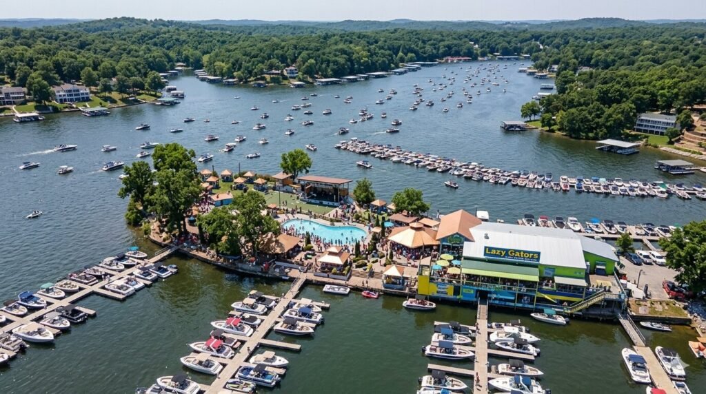
Aerial view of Lazy Gators waterfront bar Lake of the Ozarks boats docked summer weekend
Guides

Distance Between Lazy Gators and Backwater Jacks by Boat

Lake of the Ozarks is famous for its waterfront bars and restaurants. Two of the most popular destinations on the entire lake are Lazy Gators and Backwater Jacks. Both spots draw huge crowds every summer weekend. Both are accessible directly by boat. And for many visitors, making the trip between the two is one of the highlights of any Lake of the Ozarks experience. If you are planning a day on the water and want to visit both spots, knowing the distance and route ahead of time makes everything easier. This guide covers exactly how far it is between Lazy Gators and Backwater Jacks by boat. It also covers the best route, what to expect along the way, how long the trip takes, and how a yacht charter at Lake Ozark makes the whole experience smoother and more enjoyable. Where Lazy Gators and Backwater Jacks Are Located Before talking distance, it helps to understand where each spot sits on the lake. Lazy Gators is located on the main channel of Lake of the Ozarks. It sits in the Osage Beach area and is one of the most recognizable waterfront bars on the lake. It has a large dock where boats can tie up directly. The atmosphere is lively, the crowds are big on weekends, and it is a go-to stop for anyone doing a lake bar crawl. Backwater Jacks is also a well-known waterfront destination at Lake of the Ozarks. It sits further along the main channel and is known for its large outdoor deck, live music, and direct boat access. It has been a staple of the Lake of the Ozarks social scene for many years. Both locations are landmarks that most regular visitors to the lake know well. These two spots are among the most talked-about waterfront destinations on LOTO. Visiting both in a single afternoon is a popular goal for groups renting boats or booking charters on the lake. Understanding the route between them is the first step in planning that kind of day successfully. The Distance and Travel Time Between the Two The distance between Lazy Gators and Backwater Jacks by boat is approximately 4 to 5 miles along the main channel of Lake of the Ozarks. This is not a long trip by any measure. At a comfortable cruising speed, the journey takes roughly 15 to 25 minutes depending on your vessel and the traffic conditions on the water. On a calm weekday morning, you can make the trip smoothly and quickly. On a busy Saturday afternoon in July, the same route takes longer. Heavy boat traffic on the main channel means slower speeds in certain areas. Wake zones near docks and marinas also require you to slow down significantly. Planning for extra time on holiday weekends is always the smart approach. The route between the two follows the main channel of Lake of the Ozarks. It is a straightforward path with no complex navigation required. The channel is well-marked with buoys. As long as you follow the markers and stay alert to other boat traffic, the trip is easy to complete. That said, the main channel on a busy weekend afternoon sees some of the heaviest boat traffic on the entire lake. Staying aware and keeping your speed appropriate for conditions is important throughout the journey. Water conditions between these two stops can vary. The main channel is open and exposed to wind. On afternoons when the wind picks up from the south or west, the water between Lazy Gators and Backwater Jacks can develop a noticeable chop. A larger vessel handles this much better than a small boat. This is one of the reasons many groups choose a yacht charter for a day that includes multiple waterfront bar stops on the main channel. What to Expect Along the Route The route between Lazy Gators and Backwater Jacks takes you through one of the most active stretches of Lake of the Ozarks. This section of the main channel is surrounded by marinas, waterfront properties, restaurants, and boat docks. There is always something to see as you cruise between the two destinations. You will pass by several other notable spots along the way. Shady Gators is another well-known waterfront bar that sits in this general area of the lake. Some groups add it as a stop between Lazy Gators and Backwater Jacks to make a full afternoon out of the route. The area around Osage Beach and the main channel near the 4 mile marker is particularly busy during summer weekends. Keeping a steady and safe speed through this section is important. The scenery along this stretch is classic Lake of the Ozarks. You see large waterfront homes, busy docks, boat traffic in every direction, and the wide open main channel stretching ahead of you. It is a lively and energetic environment. It captures the social side of the lake perfectly. For groups who love being in the middle of the action, this route delivers exactly that kind of experience. Dock space at both Lazy Gators and Backwater Jacks can fill up quickly on busy weekends. Arriving early at each stop helps you secure a good spot. Some groups send someone ahead to hold dock space while others manage the boat. Having a USCG-certified captain on board is helpful here because they know the dock layouts and the best approach angles for tying up at each location efficiently. Making the Most of a Bar Crawl Between Both Spots Visiting Lazy Gators and Backwater Jacks in the same afternoon is one of the most popular things to do at Lake of the Ozarks during summer. Doing it well takes a little planning. The distance is short, but the experience can fill an entire afternoon if you approach it the right way. Start at Lazy Gators earlier in the day. Getting there before noon on a weekend means you beat the biggest crowds. You get better dock space and a more relaxed atmosphere. Spend a couple

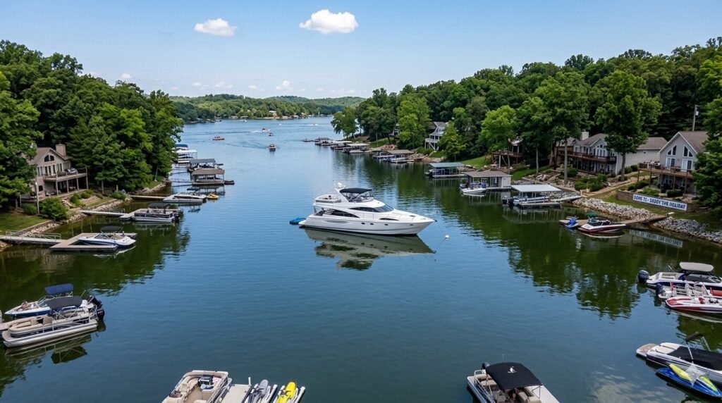
Calm cove at Lake of the Ozarks holiday weekend with yacht anchored in peaceful water
Guides

How to Find Calm Water on Holiday Weekends at Lake of the Ozarks

Lake of the Ozarks is one of the most visited lakes in the entire Midwest. Holiday weekends bring thousands of boaters, families, and visitors to the water all at once. The main channels get crowded. The noise levels rise. The wakes from passing boats never seem to stop. For anyone who wants a peaceful afternoon on the water, this can feel overwhelming. But here is the truth. There is calm water to be found at LOTO even on the busiest holiday weekends. You just need to know where to look and how to plan your day. The lake is massive. It covers over 54,000 acres and stretches across more than 1,100 miles of shoreline. That size works in your favor. It means there are always quieter corners, hidden coves, and peaceful arms where the crowds never fully reach. This guide gives you a real, practical plan for finding calm water on holiday weekends at Lake of the Ozarks. Whether you are a local or visiting for the first time, these tips will help you get more out of your time on the water. Why Holiday Weekends Get So Crowded at LOTO Understanding the crowd patterns at Lake of the Ozarks helps you plan around them. The lake sees its heaviest traffic during Memorial Day, Fourth of July, and Labor Day weekends. These are the three biggest boating weekends of the entire season. Thousands of boats launch from ramps across Camden County and the surrounding area. Popular destinations like Party Cove, Bagnell Dam, Osage Beach, and the main channel near Shady Gators and Backwater Jacks fill up fast. The main body of the lake near the dam sees the heaviest concentration of traffic. Boats stack up. Wakes overlap from every direction. Navigating through this area on a Saturday afternoon in July can feel more like a traffic jam than a relaxing boat ride. The noise and the chop make it hard to enjoy the water properly. Most visitors stick to familiar, well-known areas of the lake. They follow the same routes, stop at the same spots, and cluster around the same destinations. This predictable pattern is actually good news for anyone willing to go a little further or plan a little differently. The crowds are concentrated in specific zones. Outside those zones, the lake opens up considerably. Wind direction also plays a role in water conditions on holiday weekends. Open sections of the lake can develop significant chop when the wind picks up in the afternoon. This adds to the rough conditions in already busy areas. The sheltered arms and coves stay calmer because they are protected from both wind and heavy boat traffic. Knowing this is the foundation of finding calm water at LOTO on any holiday weekend. The Best Arms and Coves for Calm Water The Gravois Arm is one of the most reliable places to find calm water on a holiday weekend. It stretches long and deep into the southern part of the lake. The upper sections near Gravois Mills stay noticeably quieter than the main channel. Coves along the Gravois Arm offer sheltered anchoring spots with smooth water even when the rest of the lake is choppy. The arm is long enough that boat traffic spreads out naturally, giving every group more space. The Niangua Arm and Big Niangua Arm are also excellent choices for calm water seekers. These arms extend away from the main body of the lake and attract less traffic on busy weekends. The water tends to stay flatter here because the surrounding terrain blocks wind from most directions. Anchoring in a cove off the Niangua Arm on a Fourth of July weekend can feel like a completely different lake experience compared to the chaos near the dam. The Upper Osage Arm is another outstanding option. It runs deep into the northeastern part of the lake and sees far less recreational traffic than the lower sections. Families and groups who make the trip up the Upper Osage Arm often have entire stretches of shoreline to themselves. The scenery is beautiful and the water is consistently calm throughout the afternoon. It takes a bit more travel time to reach, but that is exactly why it stays peaceful on busy weekends. Smaller unnamed coves throughout the lake are also worth exploring. The lake has hundreds of them. Many are tucked behind points of land or sheltered by tree lines. These spots do not appear on tourist maps and most visitors never find them. A good USCG-certified captain who knows Lake of the Ozarks well can guide your group directly to these hidden gems. This is one of the biggest advantages of booking a yacht charter rather than going out on your own. Timing Your Trip to Avoid the Rush Timing is everything on a holiday weekend at LOTO. The worst time to be on the main channel is between noon and five in the afternoon. This is when traffic peaks. Boat launches are busy, wakes are constant, and finding a calm spot near popular areas becomes nearly impossible. Planning around this window makes a huge difference in the quality of your day on the water. Getting on the water early is the single most effective strategy. Heading out by nine or ten in the morning puts you ahead of the main rush. The water is calmer in the morning. The air is cooler. Boat traffic is lighter. You can claim your preferred cove or anchoring spot before anyone else gets there. Early mornings on LOTO during holiday weekends are genuinely peaceful, even on the busiest days of the year. Late afternoon and early evening also offer a second window of calmer conditions. Many day-trippers head back to the dock between four and six in the afternoon. Traffic on the main channel starts to thin out. The light gets beautiful and golden. A sunset cruise on the Gravois Arm or along the Upper Osage Arm during this window is one of the most rewarding experiences the

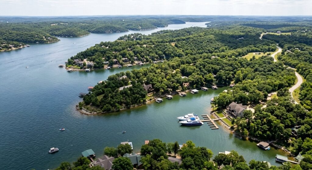
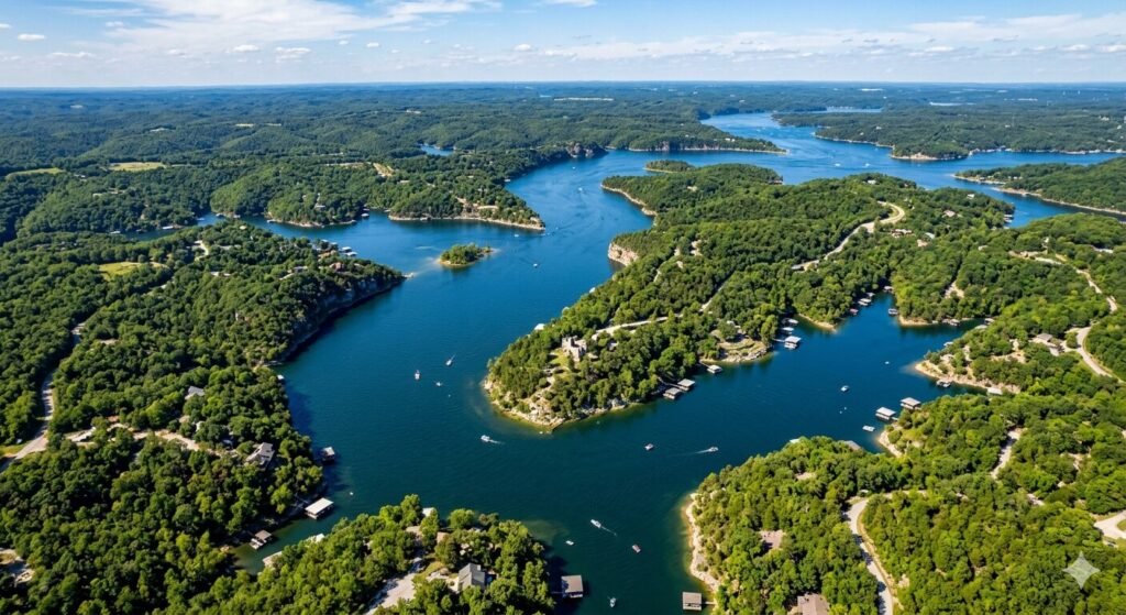
Aerial view of Gravois Arm coves and shoreline at Lake of the Ozarks
Guides

Navigating the Gravois Arm on a Weekend Afternoon

The Gravois Arm is one of the most beautiful stretches of water at Lake of the Ozarks. It runs long and wide. It offers calm coves, open water, and stunning shorelines all in one place. Weekend afternoons on the Gravois Arm feel different from anywhere else on the lake. The energy is lively, the scenery is gorgeous, and the boating is genuinely enjoyable. If you are planning a weekend trip on the water, the Gravois Arm should be on your list. This guide covers everything you need to know. You will learn how to navigate it safely, where to go, and how a yacht rental at Lake Ozark makes the experience even better. What Makes the Gravois Arm Special The Gravois Arm stretches deep into the southern part of Lake of the Ozarks. It is one of the longest arms on the entire lake. This gives it a lot of variety in terms of scenery and water conditions. You get wide open sections near the main channel and quiet, tucked-away coves further in. The water in the Gravois Arm is generally calmer than the main body of the lake. This makes it ideal for afternoon boating, especially on weekends when traffic picks up elsewhere. Families enjoy it because it feels less crowded in certain sections. You can find your own space without going too far off the beaten path. The Gravois Arm is also close to the town of Gravois Mills, which adds a nice local character to any boating trip in this area. Several marinas and fuel docks are accessible along the arm. You never feel too far from what you need when you are out on the water here. How to Navigate the Gravois Arm Safely Navigation on the Gravois Arm is straightforward for experienced boaters. But if you are newer to the lake, there are some things worth knowing before you head out. The lake uses a standard buoy and marker system. Red and green channel markers help you stay in safe, deeper water. Always keep red markers on your right when returning toward the main channel. Water depth is something to watch on weekend afternoons. Parts of the Gravois Arm can get shallow as you move into certain coves. Go slow when you explore areas away from the main channel. A slow approach protects your hull and keeps you safe in unfamiliar waters. If you are unsure, stay in the marked channel until you know the area better. Weekend afternoons bring more boat traffic across the whole lake, including the Gravois Arm. Be aware of wake zones near marinas and docks. Slow down when you see no-wake signs and give other vessels plenty of space. Courtesy on the water keeps everyone safe. It also makes the afternoon much more enjoyable for all parties. Renting a yacht with a USCG-certified captain is one of the best ways to navigate the Gravois Arm without any stress. Your captain knows the water well. They handle the navigation, the rules, and the boat, so you can simply relax and enjoy the ride. The Best Spots to Explore on a Weekend Afternoon The Gravois Arm has no shortage of great stops for a weekend afternoon. Knowing where to go helps you make the most of your time on the water. Some spots are perfect for anchoring and swimming. Others are great for sightseeing or just cruising slowly and taking in the views. Cove anchoring is very popular along the Gravois Arm. Many coves are wide enough to anchor comfortably and still have privacy. You can drop anchor, set up a swim ladder, and let everyone enjoy the water. The afternoons get warm in the summer, and a swim in one of these coves is a real highlight of any lake trip. The shoreline along the Gravois Arm is also worth exploring at a slow pace. You will see a mix of private docks, wooded hillsides, and open water views. The scenery changes as you move further up the arm. Toward Gravois Mills, the surroundings take on a quieter, more peaceful feel. It is a great area to slow down and just soak in the environment. Weekend afternoons are also a great time to look for wildlife along the shoreline. Blue herons, eagles, and osprey are common sights on the lake. Keep your eyes toward the tree lines and the water surface. These moments make a boating trip feel genuinely special. Planning Your Route for the Afternoon A good route on the Gravois Arm depends on your group and your goals for the day. If you want a relaxed float with stops, plan to head deep into the arm early in the afternoon. This gives you time to explore at a comfortable pace. You can work your way back toward the main channel as the evening approaches. If you enjoy active boating, the wider sections of the Gravois Arm are great for cruising at a comfortable speed. You get open water and good visibility. The afternoon light on the water is especially beautiful during summer months. Many guests on yacht charters at Lake of the Ozarks say the afternoon on the Gravois Arm is the best part of their whole trip. Plan for fuel stops if you are out for several hours. There are marinas accessible from the Gravois Arm that offer fuel and supplies. Know where they are before you head out. It is always smarter to fuel up with plenty of buffer rather than pushing your range to the limit. Leave yourself time for a sunset cruise on the way back. The Gravois Arm catches beautiful evening light. Many charter guests extend their afternoon into the early evening just for this reason. It turns a great afternoon into an unforgettable full-day experience. Boating Rules and Etiquette on the Gravois Arm The Missouri State Water Patrol enforces boating rules across Lake of the Ozarks, including the Gravois Arm. All operators must follow posted speed limits and no-wake zones. Life jackets

Aerial view of a marina near Sunrise Beach on Lake of the Ozarks with slips and docked boats
Guides

Where to Tie Up a Large Cruiser Yacht in Sunrise Beach

Sunrise Beach is one of the quieter and more residential communities along Lake of the Ozarks. It sits on the western side of the lake. The area is peaceful. It is less commercially developed than Osage Beach or Lake Ozark. But that does not mean it lacks options for boaters. If you are arriving on a large cruiser yacht, knowing where to tie up before you get there saves you a lot of frustration on the water. Docking a large vessel is not the same as pulling up in a pontoon or a small runabout. You need more space. You need the right depth. You need a facility that can handle your beam width and overall length. Not every dock on Lake of the Ozarks is built for that. Sunrise Beach has solid options, but they require some planning. This guide covers the best places to tie up a large cruiser yacht in Sunrise Beach. It also covers what to expect, how to prepare, and what to do if your preferred option is full. Understanding Sunrise Beach and Its Position on the Lake Sunrise Beach is located on the western shoreline of Lake of the Ozarks, roughly in the middle section of the main channel. It sits near the mile marker 25 to 30 range on the main body of the lake. That puts it well up the lake from Bagnell Dam and the busy lower sections near Osage Beach. The community is primarily residential. There are lakefront homes, private docks, and a handful of small commercial operations along the waterfront. The atmosphere is calm and unhurried. If you are looking for a break from the noise and congestion of the main party areas on the lake, Sunrise Beach is an excellent choice for an overnight or midday stop. Because the area leans residential, the marina infrastructure is smaller than what you find in Osage Beach or Lake Ozark. This matters when you are operating a large cruiser yacht. Facilities with big-boat capability exist, but you need to know which ones they are. Calling ahead is always recommended. Transient slips for large vessels fill up on busy summer weekends. Showing up without a reservation on a holiday weekend is a gamble you do not want to take. The main channel in the Sunrise Beach area has good depth for large vessels. The lake bottom drops off significantly in the channel. You will find adequate draft clearance throughout the main cruising route. The challenge comes when you move toward the shallower sections near certain docks and coves. Always check your depth sounder as you approach any unfamiliar dock or slip. Marina Options for Tying Up a Large Cruiser Yacht Near Sunrise Beach The Sunrise Beach area has several marina facilities worth knowing. Each has different capabilities for large vessels. Understanding what each one offers helps you make the right call before you leave your home dock. Shawnee Bend Marina is one of the most well-known facilities in the Sunrise Beach area. It sits on the main channel side of the lake. It offers transient slips and has accommodated larger vessels over the years. The facility has fuel, which is essential for a large cruiser that burns through fuel quickly. Call ahead and give them your vessel’s length and beam before you arrive. Their staff can confirm slip availability and advise on depth clearance at your specific tie-up point. Lazy Gator Marina is another option in the broader Sunrise Beach zone. It caters to a mix of vessel sizes. For very large cruisers, you want to call ahead and confirm they have a slip that fits your boat. Some facilities list their slip dimensions online. Others require a direct conversation. Either way, do not assume any marina can handle your vessel without confirming first. A large cruiser yacht can run anywhere from 40 to 70 feet or more. Slip size and approach depth both matter at that scale. Beyond the dedicated marina slips, several waterfront restaurants and bars in the Sunrise Beach area offer guest docking. These are typically shorter stays while you eat or enjoy the shoreline. They are not overnight options. But for a midday stop on a charter cruise, they work very well. Always confirm available dock space with the establishment before you pull in. Busy summer afternoons can fill these guest docks quickly. If you are on a crewed charter with Yacht Rental Lake Ozark, your captain will handle all dock communication in advance. They know the marinas in this area personally. They have relationships with dock staff. They will confirm your slip, coordinate your arrival time, and manage the tie-up safely. That is one of the most underrated advantages of a captained charter on a large vessel. How to Approach and Tie Up a Large Yacht in This Area Arriving in a large cruiser yacht requires more than just finding a slip. The approach matters. Lake of the Ozarks has significant boat traffic during summer weekends. The main channel near Sunrise Beach sees plenty of wake from passing vessels. Timing and technique are both important. Reduce your speed well before you enter any marina or dock area. No-wake zones exist around most marina entrances on the lake. Respect them strictly. A large vessel pushing a big wake into a tight marina can cause serious damage to other boats. It can also create liability issues for you. Slow down early and approach at idle speed. Wind is your biggest challenge when docking a large cruiser. Even a light breeze can push a 50-foot yacht sideways faster than you expect. Check the wind direction before you approach the slip. Plan your approach so the wind works with you rather than against you. If you are coming in on a captained charter, your captain will read the conditions and adjust accordingly. They have done this countless times on this lake. Use fenders generously on both sides of the vessel. Lake marinas can have older dock structures with varying surface

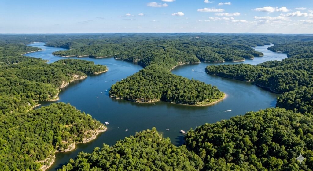
Aerial view of the Upper Osage Arm of Lake of the Ozarks winding through wooded Ozark hills
Guides

How to Get to the Upper Osage Arm by Water Charter

The Upper Osage Arm is one of the most beautiful and least crowded stretches of Lake of the Ozarks. It runs deep into the Ozark hills. The water is calm. The scenery is stunning. And the further up you go, the more peaceful it gets. Most visitors to Lake of the Ozarks never make it this far. They stay near the main channel, Party Cove, or the marina-heavy areas around Osage Beach. That is understandable. But it means the Upper Osage Arm stays uncrowded for those who know where to go. If you are planning a water charter at Lake of the Ozarks, this arm is one of the most rewarding destinations you can choose. This guide walks you through everything. You will learn the route, what to expect along the way, where to stop, and how to choose the right charter for the trip. Understanding the Layout of Lake of the Ozarks Before You Go Lake of the Ozarks is a large and complex body of water. It has a main channel and several major arms that branch off in different directions. The Osage Arm is one of the longest and most significant of these. It follows the path of the original Osage River before the lake was formed by Bagnell Dam in 1931. The lake uses a mile marker system that begins at Bagnell Dam and increases as you travel up the lake. The main channel mile markers run up the center of the lake. Each arm has its own marker sequence that branches off from the main channel. Knowing these markers is essential for navigation. They appear on most charts and GPS systems used on the lake. The Upper Osage Arm refers to the upper reaches of the Osage River arm of the lake. This section is quieter than the lower portions near Osage Beach. The channel narrows gradually as you go further up. Water depth decreases in some areas. The landscape becomes more rugged and wooded. It feels like a completely different lake compared to the busy sections near the dam. Before you depart, study a lake map. Identify the main channel and where it transitions into the Osage Arm. Note the mile markers you will pass along the way. If you are on a captained charter, your captain will handle all of this. But having a basic understanding of the route helps you follow along and enjoy the journey more fully. The Route from Lake Ozark to the Upper Osage Arm by Water The starting point for most charters headed to the Upper Osage Arm is the Lake Ozark and Osage Beach area. Most marinas and charter operations are located in this central zone. It is the most convenient point of access for visitors staying in the area. From the main channel near Bagnell Dam, you head up the lake away from the dam. The main channel curves and widens as you move through the lower portions of the lake. You will pass familiar landmarks like the Grand Glaize Bridge and the busy marina areas around Osage Beach. Traffic is heavier in this section. Your captain will navigate through it efficiently. As you continue up the main channel, you will eventually reach the point where the Osage Arm branches off. This transition happens gradually. The channel begins to follow a more defined path. Boat traffic starts to thin. The banks on either side get higher and more wooded. You know you are heading in the right direction when the landscape starts to feel more remote. The journey from the Osage Beach area to the Upper Osage Arm takes roughly 45 minutes to 1.5 hours depending on your vessel speed and how many stops you make along the way. A larger yacht cruises this route comfortably. A pontoon or tritoon rental can also make the trip if the water conditions are calm. Your charter company will help you choose the right vessel based on your group size and planned activities. One important thing to note is fuel. There are fuel docks near the main channel. Once you move into the upper sections of the Osage Arm, fuel availability becomes limited. Always top off before you head up the arm. This is standard advice for any trip to the more remote parts of Lake of the Ozarks. What to Expect on the Upper Osage Arm The Upper Osage Arm feels like a different world compared to the main channel. The water is noticeably calmer. The banks are steep, rocky, and covered in timber. Wildlife is more visible here. You may spot great blue herons, ospreys, deer, and turtles along the shoreline. It is a genuinely scenic stretch of water. Boat traffic drops significantly once you are well into the upper arm. On a busy summer weekend, you might have entire coves to yourself. That is almost impossible to find near Osage Beach or the main channel. This privacy is one of the biggest reasons boaters make the trip. It is ideal for group charters that want a relaxed and exclusive experience without the noise and crowds. The coves along the Upper Osage Arm are excellent for anchoring. The water in many of these coves is clear. The bottom varies from sandy to rocky. Several coves have gentle slopes that are perfect for swimming. You can anchor, set up a floating dock or inflatable, and spend hours without another boat in sight. Fishing is also excellent on the upper arm. Largemouth bass hold along the rocky banks and near submerged timber. Crappie are found around dock structures and brush. The upper sections of the arm have less fishing pressure than the lower lake. That often means better fishing for those willing to make the journey. One thing to be aware of is water depth in the upper sections. The channel gets shallower as you approach the very top of the arm. Your captain will know where the navigable water ends. For very shallow draft vessels like a

Aerial view of the Big Niangua Arm of Lake of the Ozarks surrounded by wooded Ozark hills
Guides

Boating Guide to the Big Niangua Arm of the Lake of the Ozarks

The Big Niangua Arm is one of the most scenic and rewarding stretches of Lake of the Ozarks. It runs deep into the surrounding hills. The water is calm in most areas. The coves are quiet and well-protected. And the scenery is hard to beat anywhere on the lake. Many boaters stick to the main channel. But experienced boaters know the Big Niangua Arm offers something different. It is peaceful. It is less crowded. And it has some of the most beautiful anchorages on the entire lake. Whether you are renting a yacht at Lake Ozark for the first time or you have been coming here for years, this arm deserves your full attention. This guide covers everything you need to know before you head out. You will learn where to go, what to watch for, and how to make the most of your time on this stretch of water. Where the Big Niangua Arm Begins and How to Navigate It The Big Niangua Arm branches off from the main channel of Lake of the Ozarks in the upper portion of the lake. It stretches several miles into the heart of Missouri’s Ozark terrain. The arm runs roughly northwest from the main body of the lake. It is wide enough for comfortable cruising but narrow enough to feel intimate. Mile markers are your best friend on this arm. Lake of the Ozarks uses a mile marker system that starts at Bagnell Dam and increases as you move up the lake. The Big Niangua Arm has its own mile marker sequence that branches off from the main channel. Pay close attention when you first enter the arm. The water depth can change quickly in some areas. Local knowledge matters a lot here. The Niangua Bridge is one of the key landmarks in this area. It is easy to spot and serves as a useful reference point when navigating. If you are new to the arm, use it to get your bearings. From there, the channel continues further into quieter territory. Boat traffic thins out noticeably past the bridge. That is part of the charm of this area. Navigation on the Big Niangua Arm is generally straightforward. The channel is well-marked. But you should still keep your charts or GPS active. There are some shallow spots near the banks and in certain coves. A pontoon or tritoon rental handles this arm with ease. A larger yacht can also navigate the main section comfortably. Just stay aware of your depth as you explore side coves. The Best Coves and Anchoring Spots on the Big Niangua Arm The coves off the Big Niangua Arm are some of the most sought-after anchorages on the lake. They offer shelter from wind and wave action on the main channel. The water in many of these coves is clear and calm. It is ideal for swimming, fishing, or just floating in the afternoon sun. One of the biggest advantages of this arm is the lack of heavy boat traffic. On a summer weekend, the main channel near Osage Beach and Party Cove can feel overwhelming. The Big Niangua Arm stays significantly calmer. You can find a cove, drop anchor, and enjoy your day without constant wake from passing boats. That makes it a top choice for groups looking for a private and peaceful charter experience. When anchoring in a cove on the Big Niangua Arm, give yourself enough scope. The bottom composition varies from cove to cove. Some areas have a sandy bottom. Others are rocky or muddy. A good anchor with adequate chain and rode will hold well in most spots. Set your anchor properly and check it before you settle in. If you are not confident about anchoring, a captained charter is the smarter choice. Your captain will know exactly where to set the hook and how to do it safely. Several coves along this arm are perfect for overnight stays. The water is calm. The surroundings are wooded and quiet. You can watch the stars from the deck without any light pollution from the main channel areas. If overnight anchoring is part of your plan, make sure your vessel has the required lighting and that you notify your charter company in advance. Fishing on the Big Niangua Arm The Big Niangua Arm has a strong reputation among anglers. The arm is home to a healthy population of largemouth bass, crappie, white bass, and catfish. The deeper sections of the channel hold fish year-round. The shallower coves and creek mouths are productive during spring and early summer. Bass fishing is especially good near rocky points and submerged structure. The Ozark terrain creates a lot of natural underwater features. Old creek beds, rock ledges, and submerged timber all attract fish. If you are targeting largemouth bass, work the edges of coves during the early morning and late evening. The fish move shallow during those hours. Crappie are abundant throughout the arm. They tend to hold near brush piles and dock structures. Many of the private docks along the arm have underwater brush piles set by the property owners. You will need to stay in public waters, but the fish often roam from structure to structure. A jig or live minnow will get plenty of action. White bass fishing heats up in late spring when the fish stage in the arm before their annual run. They school aggressively and hit small jigs and spinners readily. It is fast-paced, exciting fishing that is great for kids and beginners. Catfish are active throughout the warmer months. Cut bait or chicken liver fished near the bottom in deeper water will produce results. If you are planning a fishing trip on a charter boat, let your rental company know in advance. They can help you choose the right size vessel for your group and coordinate timing around the best fishing windows. What to Know Before You Boat the Big Niangua Arm The Big Niangua Arm rewards boaters who come prepared. A

Scroll to Top